""It's just so addictive," Ramanujam said. "Wetlands are the first thing you see when you land in the Bay Area. The beautiful colors, red, pink, green." He's worried that rising sea levels, driven by human-caused climate change, could swallow the baylands he loves so dearly. Climate scientists predict that melting ice caps and expanding ocean waters could cause the seas to rise anywhere between a foot by 2050 and more than six feet by the end of the century."
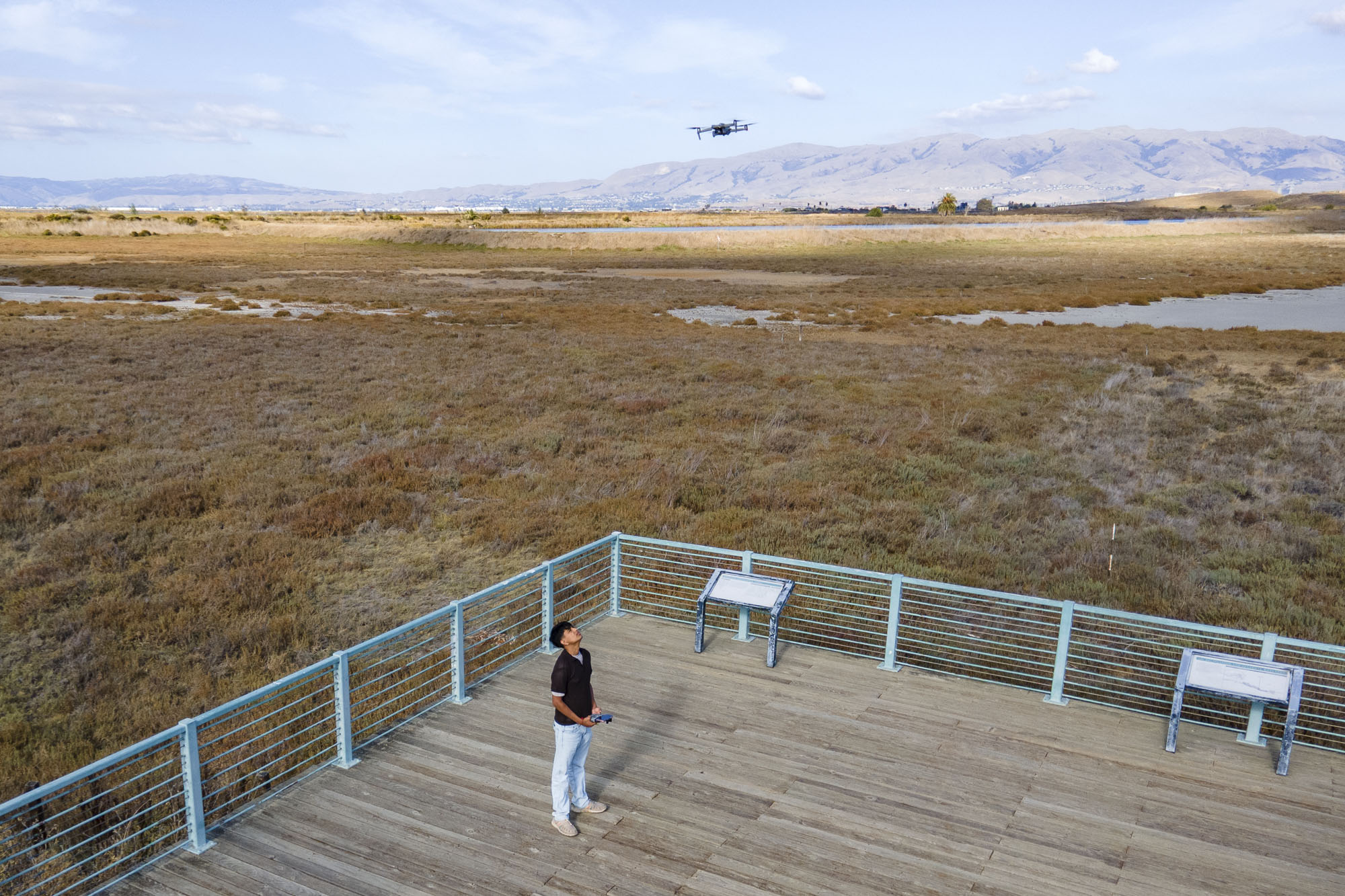
"More than 80% of the Bay Area's tidal wetlands were destroyed in the 19th and 20th centuries, and he wants to help decision-makers better understand what's left. On weekends and after school, Ramanujam sends his drones soaring over the marsh, allowing him to create high-definition maps, photos and videos that track elevation, erosion and plant health. He would like to show how the area has changed over time and identify the marshland areas most vulnerable to future flooding."
Ramanujam maps more than 1,000 acres of South Bay wetlands to document elevation, erosion and plant health and identify marsh areas most vulnerable to flooding. He operates drones on weekends and after school to create high-definition maps, photos and videos and layers thousands of images into public maps and YouTube videos. He presented findings to local and regional commissions and the State of the San Francisco Estuary Conference. He partners with San Jose State researchers to map coastal erosion impacts on underserved Monterey Bay communities and hopes to inspire youth involvement in wetland conservation.
Read at Kqed
Unable to calculate read time
Collection
[
|
...
]