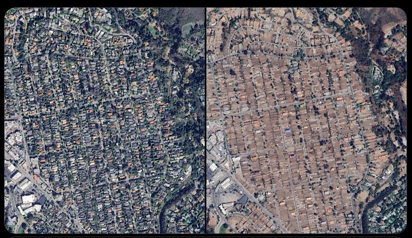
"Residents in LA reported that Google Maps was displaying satellite images of the Altadena and Pacific Palisades neighborhoods prior to the devastating 2025 wildfires, leading some to believe it was motivated by the upcoming mayoral election."
"Over the past few days, some Google Maps users have reported that the app was displaying older satellite images of Los Angeles before parts of it were destroyed by the Palisades and Eaton fires in January 2025, as the California Post reports. Meanwhile, other users still see the most recent images featuring the devastated, burned-out Altadena and Pacific Palisades neighborhoods."
"Users in online forums like Y Combinator speculated about whether it was an attempt by Mayor Karen Bass to gloss over issues surrounding the fires ahead of the heated mayoral election. Per the Post, one of Bass's challengers, Spencer Pratt, was motivated to run against Bass after his home burned down in the Palisades Fire."
"Google explained in a statement on social media Monday that old images were being displayed due to a technical issue stemming from a recent update, and the company is working to fix the glitch."
Some Los Angeles residents reported that Google Maps displayed older satellite images of Altadena and Pacific Palisades before the January 2025 wildfires. Other users reported seeing more recent images showing burned-out areas from the Palisades and Eaton fires. Online speculation connected the imagery mismatch to the upcoming mayoral election and concerns about how fire damage might be portrayed. Google stated that outdated images appeared because of a technical issue caused by a recent update and said it was working to resolve the glitch. The reports included references to mayoral challenger Spencer Pratt, whose home burned in the Palisades Fire.
Read at sfist.com
Unable to calculate read time
Collection
[
|
...
]