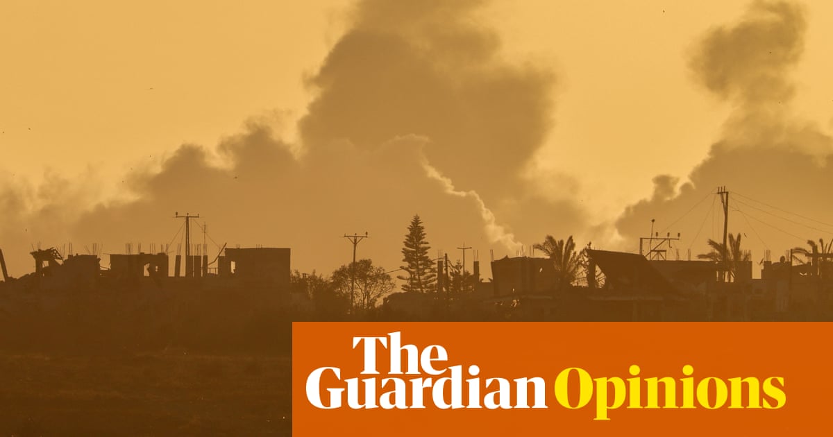
"A picture says a thousand words. And the imagery slowly seeping out of Gaza tells a story that many politicians and media figures are still doing their best to ignore or obfuscate."
"It is systematically slaughtering Palestinian journalists on the ground. And it is placing heavy restrictions on foreign aid workers who are let into Gaza."
"So-called safe zones make it increasingly hard to argue that Israel's military operation... is about eradicating Hamas. This isn't an operation — it's a cremation."
"Forensic Architecture's report states that they found eight instances where the Israeli legal team misrepresented the visual evidence they cited, through a combination of incorrect annotations and labelling."
The article highlights the stark contrast between the imagery emerging from Gaza and the narratives pushed by politicians and media regarding Israel's military operations. With foreign journalists banned from reporting in the territory, and numerous Palestinian journalists silenced, the visual story from Gaza remains controlled and limited. The author points out that despite the restrictions, evolving satellite images and drone footage suggest severe humanitarian crises. Additionally, it notes the manipulation of images by the Israeli government to misrepresent the situation, particularly emphasized by a report from Forensic Architecture that claims substantial misrepresentation of evidence in international legal settings.
#gaza #media-manipulation #israeli-palestinian-conflict #humanitarian-crisis #journalism-restrictions
Read at www.theguardian.com
Unable to calculate read time
Collection
[
|
...
]