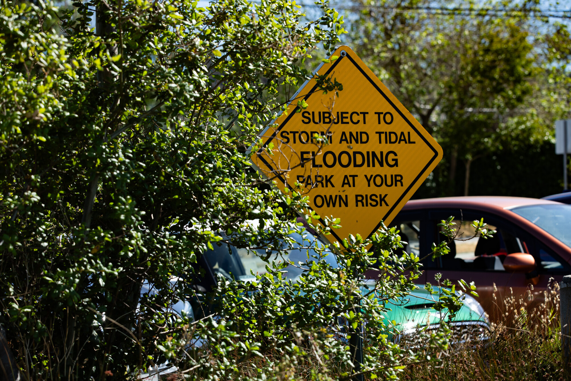
"Floodwaters can disrupt access in Marin City, particularly when heavy rains and high tides block the only road in and out of the neighborhood."
"Researchers found that Marin County's coastal and bayside transit systems face significant flood risks due to rising sea levels, affecting the entire region."
"A recent study identified areas of Marin County, such as Sausalito and Mill Valley, that are particularly vulnerable to flooding from rising sea levels."
"Strategies to protect Marin City include building a sea wall, raising streets, and creating a second evacuation route to manage flood risks."
A study indicates that Marin County's transportation infrastructure, including highways, bike paths, and ferry terminals, is at risk from rising sea levels. Areas like Sausalito, Mill Valley, and Marin City are particularly vulnerable to flooding. Floodwaters can disrupt access in Marin City, especially when heavy rains coincide with high tides. Researchers identified a tipping point by mid-century leading to permanent inundation. Potential protective strategies include building sea walls, elevating streets, and improving stormwater management, with Caltrans also researching the situation further.
Read at Kqed
Unable to calculate read time
Collection
[
|
...
]